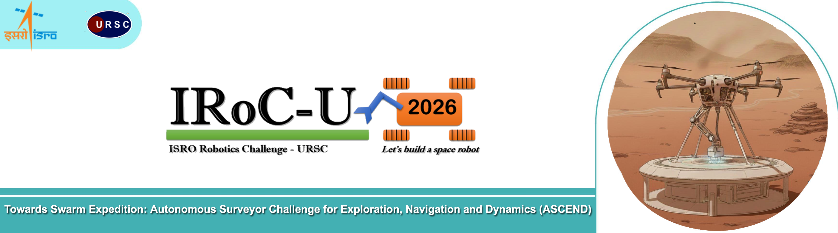
ISRO Robotic Challenge - URSC 2026
ISRO Robotics Challenge-URSC 2024 & 2025 (IRoC-U 2024 &
2025) provided an opportunity to the student community to showcase
their engineering problem solving capabilities for space missions.
The student community responded with great enthusiasm and its
unprecedented success served as an inspiration for the next
challenge IRoC-U 2026.
The Honourable Prime Minister of India appreciated and praised
ISRO’s initiatives such as the Indian Space Hackathon and the
Robotics Challenge (IRoC-U), noting that these efforts help to
kindle greater interest in space among the youth. He warmly
congratulated all the students who participated in these
competitions and the winners for their creativity and enthusiasm.
One of ISRO’s future goal is the exploration of Martian surface and
as a part of Martian surface exploration an Autonomous Unmanned
Aerial Vehicle (UAV) will carry out scientific activities. ISRO
solicits from the youth of India innovative ideas and designs in the
area of navigation for future missions through the conduct of
Robotics Challenge.
The IRoC-U 2026 challenges the students to develop “Towards Swarm
Expedition: Autonomous Surveyor Challenge for Exploration,
Navigation and Dynamics (ASCEND)” without any external
navigation aids like GNSS, pseudolite or reflector arrays.
IRoC-U 2025 challenge consisted of demonstration of autonomous,
aerial capability without GPS aid. IRoC-U 2026 challenge will
involve autonomous navigation, landing, power transfer and image
data validation. As a result, this year’s challenge advances and
refines the goals defined in the last year.
Autonomous aerial swarms are the future of planetary exploration:
they can deploy, survey, recharge and share data without direct
human control. The “Towards Swarm Expedition: Autonomous Surveyor
Challenge for Exploration, Navigation and Dynamics (ASCEND)” takes
the first step toward this vision. In this challenge, teams will
build a micro-UAV (aerial vehicle) and a base station. The UAV
departs from its base station, acquires the target characteristics
it needs to identify, searches a designated area for those features,
then returns to base station, transfer its data, and recharge - all
without GPS, telemetry or remote piloting.
Hence, the current challenge focuses on developing and demonstrating
navigation and guidance techniques rather than building aerial
vehicles. Students can use/develop any available (off-the-shelf)
aerial vehicle complying with existing DGCA rules.
The student community needs to develop and demonstrate the
autonomous capabilities of ASCEND:
- for navigation and guidance without any external
navigation aids
- to deploy, survey, recharge and share data without
direct human control
- to search for pre-defined arena for target features, return to
base station to land and transfer data and recharge its power
system.
- Base station should support data transfer and charging through
wired and/or wireless interfaces. If wired operation is used,
the interface should have ports for i) image data transfer and
ii) charging. The images (target features) captured by ASCEND
during survey need to be transferred to base station and
compared with the reference feature database for validation
- Manual human intervention or manual alignment during the
task is not permitted.
ASCEND has to perform the following tasks during the various rounds
of the challenge:
- Seeding Task: While within the yellow-boundary base
zone, the UAV must autonomously capture the provided seed images
(3-5 sample feature images) supplied through the interface of
the base station.
- Search Task: The UAV departs from the base station and
autonomously searches the arena to locate unknown instances of
the seeded feature types (for example: layered rock formations,
red-oxide patches, reflective ice-like patches etc.) - each
feature type has 2 to 3 instances present in the arena.
- Detection & Documentation Task: On detecting a
feature instance, the UAV records its local estimated
coordinates (relative to the base station frame) and captures a
verification image of the feature.
- Return Task: The UAV returns to the base station,
lands and interfaces without human intervention and initiates
data transfer (images and coordinate log) via wired or wireless
mode. At the same time, the bay charges the UAV for the next
sortie.
- Validation Task: The base station computer validates
the transferred images against the seed images (automatic
image-matching). If valid, that detection counts towards the
successful sortie.
- Repeat sorties: The teams can attempt multiple sorties
for completing the task. The merit is considered based on the
number of sorties.
Refer the rule book for the details. Rule book will be updated from
time to time as the challenge rounds progress. The participants are
requested to follow the latest version of the rulebook available in
the web portal.
Winners
and runners-up of IRoC-U2024 & 2025 are not eligible for
participation in IRoC-U2026.